Live Maritime Intelligence
Cargo ship arrivals & departures, tracked across every major port.
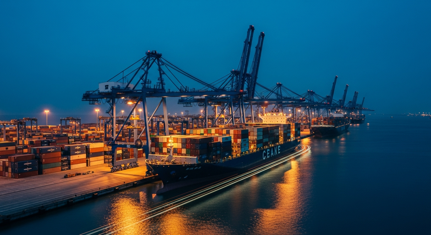
PortWatch is a free, server-rendered directory of 320 freight vessels across 277 commercial ports worldwide. Browse arrivals, departures, vessel particulars, and voyage details — sourced from public AIS feeds and open maritime datasets.
Featured ports
A cross-section of major commercial gateways currently tracked in the directory — click any port for live vessel calls, profile data, and a UN/LOCODE-indexed page.
Abu Dhabi
Major container port at 24.454°, 54.377°.
New York
Major container port at 40.713°, -74.006°.
St Petersburg
Major container port at 59.931°, 30.361°.
Puerto Cortes
Major container port at 15.833°, -87.933°.
Rosario
Major bulk port at -32.944°, -60.651°.
Taipei
Major container port at 25.033°, 121.565°.
Portsmouth
Major general port at 50.820°, -1.088°.
Tanger Med
Major container port at 35.886°, -5.487°.
Copenhagen
Major container port at 55.676°, 12.568°.
Mundra
Major container port at 22.739°, 69.711°.
San Antonio
Major container port at -33.593°, -71.616°.
Cork
Major container port at 51.899°, -8.476°.
Recently updated vessels
Most recent AIS-derived position updates across the indexed cargo fleet.
| Vessel | Type | Flag | Status | Port | IMO | Updated |
|---|---|---|---|---|---|---|
| CAPE MERCURY | Roll-on/Roll-off | Italy | Moored | St Petersburg | 9686847 | 60d ago |
| STEEL HARBOR | Multi-Purpose | Japan | Moored | Kolkata | 9256738 | 60d ago |
| GOLDEN SHORE | Oil Tanker | Belgium | Moored | Guangzhou | 9381903 | 60d ago |
| GLORY PHOENIX | Heavy Lift | Belgium | Arriving | Lagos | 9561284 | 60d ago |
| PACIFIC ANCHOR | Container Ship | Norway | Underway | Grangemouth | 9136525 | 60d ago |
| MAERSK SHORE | Heavy Lift | Singapore | Underway | Halifax | 9509184 | 60d ago |
| NORTHERN EAGLE | Oil Tanker | Netherlands | Arriving | Durres | 9892502 | 60d ago |
| EMPIRE REACH | Container Ship | India | Underway | Salvador | 9117155 | 60d ago |
| HORIZON CARRIER | General Cargo | Panama | Moored | Saint George's | 9643111 | 60d ago |
| DIAMOND DAWN | Chemical Tanker | Cyprus | Underway | Oslo | 9376560 | 60d ago |
| POLAR WAVE | Heavy Lift | Panama | Anchored | Copenhagen | 9118330 | 60d ago |
| SILVER SHORE | LNG Carrier | Cyprus | Departed | Valencia | 9053930 | 60d ago |
Browse by vessel type
Cellular container ships, dry-bulk carriers, crude and chemical tankers, ro-ro and LNG carriers — every vessel in the directory is classified by AIS type.
Top maritime nations
Countries with the most cargo ports in the PortWatch directory. Each leads to a national index of port profiles and vessel-type breakdowns.
- United States 22
- Brazil 10
- United Kingdom 9
- Japan 9
- Russia 9
- Italy 8
- Australia 7
- China 7
- India 7
- Spain 6
- France 6
- United Arab Emirates 5
- Canada 5
- Indonesia 5
- Turkey 5
- Chile 4
- Germany 4
- South Korea 4
- Norway 4
- New Zealand 4
- Taiwan 4
- South Africa 4
- Colombia 3
- Egypt 3
- Ireland 3
- Panama 3
- Philippines 3
- Poland 3
Maritime guides
Long-form reference articles on container shipping geography, AIS data, IMO classifications, and port operations.
How AIS vessel tracking works (and what its limits are)
An end-to-end walkthrough of the Automatic Identification System — what AIS broadcasts contain, who receives them, how they get aggregated into the public maps you see online, and where the system breaks down.
What is an IMO number, and why does it matter?
The seven-digit identifier issued by the International Maritime Organization that follows a vessel for the rest of its working life — and the difference between IMO numbers, MMSI numbers, and call signs.
Understanding UN/LOCODE — the world’s port identifier system
The five-character UN/LOCODE is the lingua franca of international shipping documentation. This guide explains how the system works, who maintains it, and how to read a code.
Container ship size classes — Feeder, Panamax, Neo-Panamax, ULCV
The vocabulary of container vessel sizes — Feeder, Feedermax, Panamax, Post-Panamax, New Panamax / Neo-Panamax, ULCV — and the canal and port constraints that define each tier.
Dry bulk carrier classes — Handysize, Supramax, Panamax, Capesize
The size classification of dry bulk carriers, from Handysize through Capesize and VLOC, and what each size class is typically used for.
Tanker vessel types — Crude, Product, Chemical, LNG, LPG
A guide to the distinct families of tanker tonnage, what each carries, and the different terminal infrastructure each requires.
About PortWatch
PortWatch is an open directory of global cargo shipping activity, designed for freight researchers, supply-chain analysts, port authorities, and shipping enthusiasts who need a fast, browsable view of which vessels are where. Every page in this directory is a static, server-rendered document — no JavaScript apps, no required logins, no paywalls. The data behind the directory is refreshed periodically from public sources including the Wikidata SPARQL endpoint for port geography and UN/LOCODE registries for port identification, supplemented by AIS-derived vessel particulars sourced from public maritime feeds.
Each port profile shows currently moored vessels, recent arrivals, recent departures, and basic geographic context including coordinates, country, and UN/LOCODE identifier. Each vessel profile includes its IMO number, MMSI, flag state, vessel type, dimensions, and last-known position. The directory is structured to make both bulk browsing and deep linking practical — every port, vessel, country, and vessel type has a permanent URL that returns full HTML content, ensuring search engines and archival tools can index the entire dataset without rendering JavaScript.
PortWatch is not a navigational tool. AIS data and derived metadata are inherently delayed and approximate. Vessel position information shown here should never be used for navigation, collision avoidance, traffic management, or commercial chartering decisions. For operational maritime data, consult certified providers and your local port authority.